Natural rural treasures in Murcia where you can hear the silent call of Nature this winter! As we tread the same paths and visit the same places day by day the Region of Murcia becomes ever more familiar to us, but do you realize how easy it is to stray off the map and lose yourself in the wonders of Nature? Sometimes we really need to disconnect and change our surroundings, get away from the noise and frustrations of everyday life and enjoy..
READ MORE
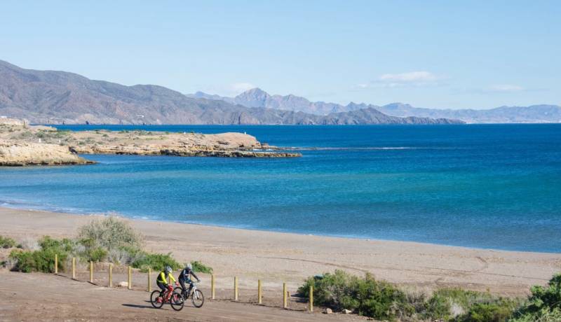
One stage of 7,560-km route which runs from Cádiz to Cyprus ends in Águilas and the next sets out for Puerto de Mazarrón The Region of Murcia has long been a preferred destination for cycling holidays, the varied terrain attracting tourists from all over Europe 12 months a year, and its inclusion on the “EuroVelo 8” route, which runs a massive 7,560 kilometres from Cádiz in the south-west of Spain to Athens and Cyprus, is likely to further..
READ MORE
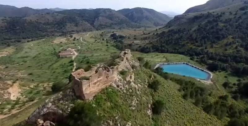
An 11th century fortification in Águilas which was strategically important in the conflicts of the Middle Ages Image: Consejo de Agricultura Ecológica de la Región de Murcia - Caerm The ruined castle of Chuecos stands at an altitude of 687 metres above sea level on a hill in the Sierra de Almenara and was built to protect and make use of a historic natural spring which lies just below. To the north is the Casa de Chuecos and the small church..
READ MORE
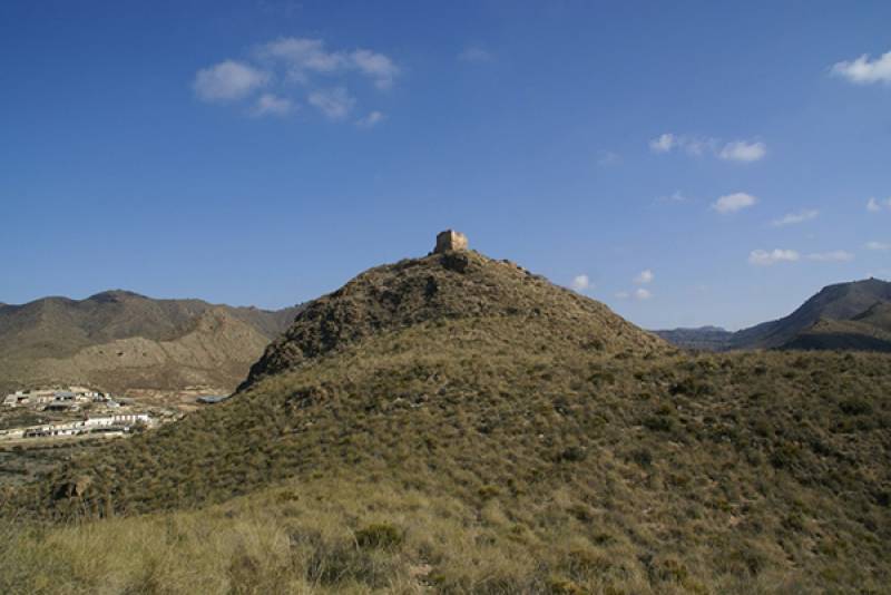
The castles of Chuecos and Tébar protected the rural population of Águilas as long ago as the 12th century The castle of Tébar stands at an altitude of 486 metres above sea level on a hill next to the old road between Lorca and Mazarrón (click for map), about 12 kilometres from the town of Águilas, and although the road (now the RM-332) is close by it requires something of a hike to reach it from a small rural track. It is a near total ruin..
READ MORE
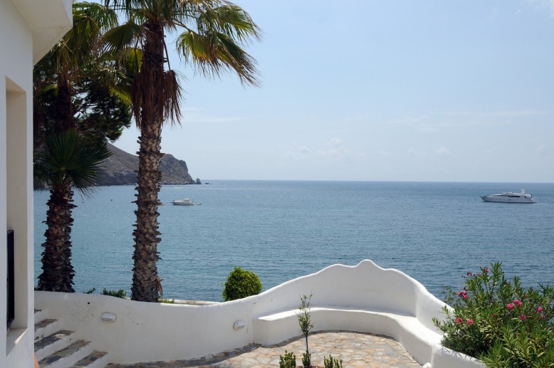
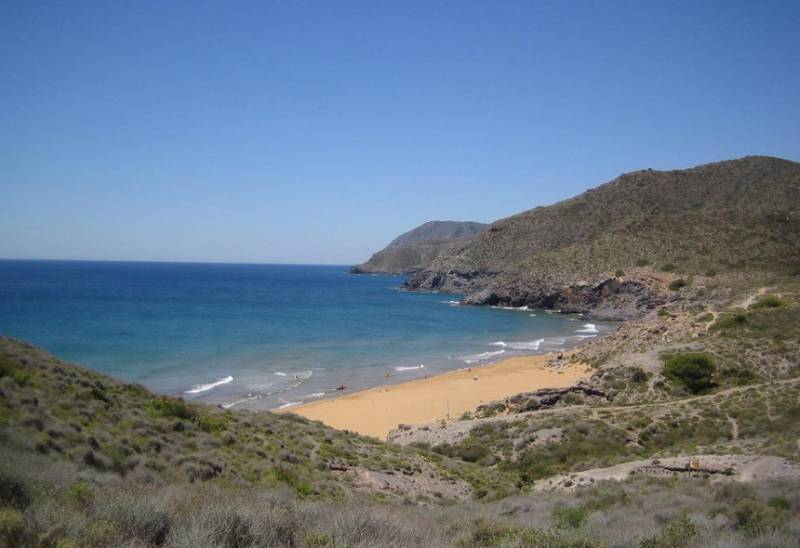
A picturesque beachside village in the shadow of Cabo Cope Calabardina is a small town or village located to the east of Águilas, at the foot of the headland of Cabo de Cope on the south-facing coast of the Mediterranean. It lies within the municipality of Águilas and is administered from the town of Águilas, although is technically a pedanía of the municipality with its own local community Mayor. For many years this was nothing..
READ MORE
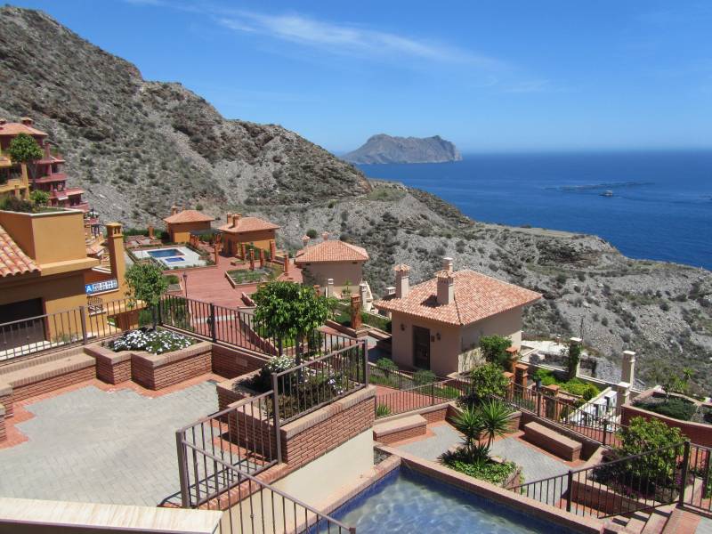
Residential and holiday home developments to the east of the town of Águilas It is known that the Romans made use of the shallow waters around Isla del Fraile and on the beach of Playa Amarailla to the east of the town of Águilas, where they produced the rich “garum” fish sauce using the catches of fishermen in Calabardina and Cope. But after their departure the area around Águilas was only sparsely populated until as late as the 19th century..
READ MORE
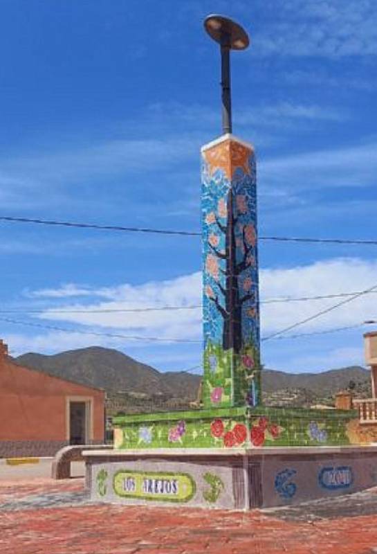
Small farming communities in the west of the municipality of Águilas For first-time visitors it is easy to imagine that Águilas in the south-west of the Region of Murcia is purely a coastal area, the south-westernmost in the Costa Cálida before the Costa de Almería begins, but in fact the 251-square-kilometre municipality includes large areas of farmland and mountains. Among these is the area known as El Cocón, including the hamlets of..
READ MORE
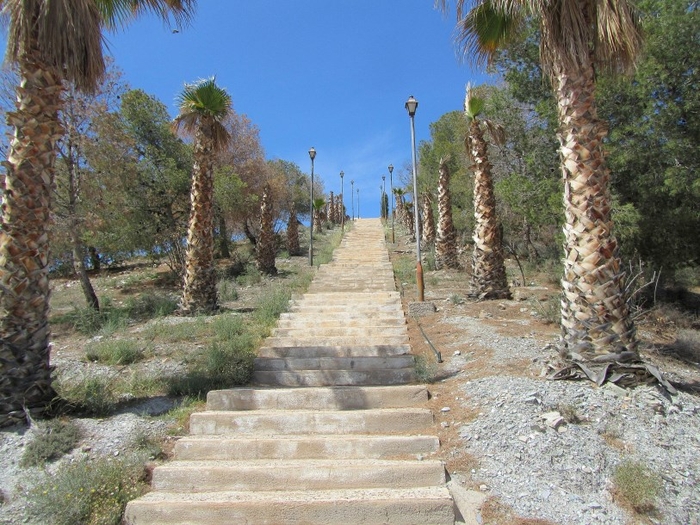
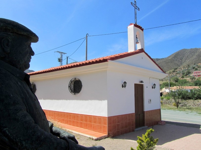
A short climb for panoramic views over the landscape of Águilas Just a ten-minute drive from the town of Águilas, in the heart of the crop fields which lie in the east of the municipality behind Cabo Cope, is the rural community of El Garrobillo, which consists mainly of farmland and is home to very few people. Much of the area known as Garrobillo actually lies in the municipality of Lorca, but the church and the unusual steps climbing up..
READ MORE
A pleasant trip out to the mountains behind Calabardina Cuesta de Gos is a tiny hamlet in the foothills of the mountains behind Águilas and Calabardina, and consists of no more than a scattering of around a dozen houses. The inhabitants of the village used to struggle to make their living from the few crops which could be grown in the arid countryside before irrigation was viable, but nowadays the houses belong mostly to a few families who..
READ MORE